

Climbing to the top of Avalanche Peak via the Scott’s Track
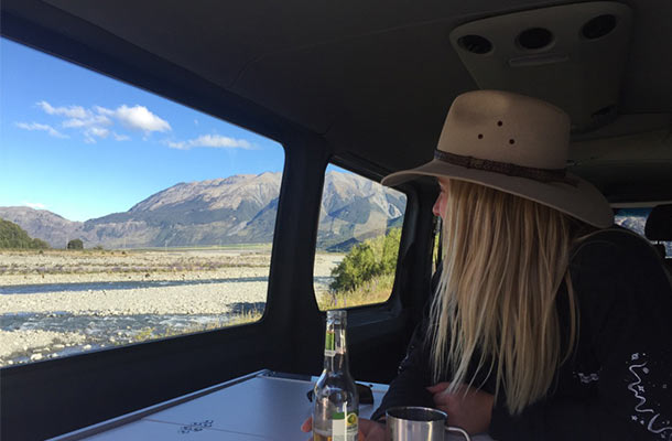
The wind rocked us to sleep in the campervan at Klondyke Corner, and the sun woke us up at 5:50am, creeping through the front window of the van. (We couldn’t figure out how to put the curtains up…)
Ah well, with sights like this, we aren’t complaining.
For breakfast, we sat down to enjoy a bowl of muesli and peaches in juice.
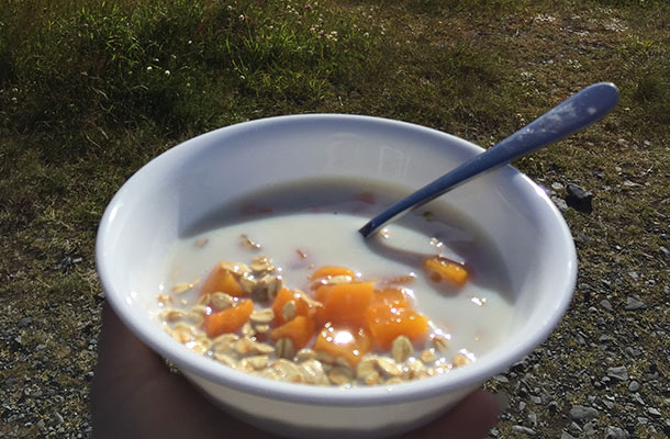
The breakfast choice of mountaineers? Probably not.
Before flying over to New Zealand, I’d spoken to Mark about potentially giving Avalanche Peak a good hard crack. I’d told him that it was a difficult climb, and if he couldn’t be bothered, we could just do a shorter walk to Devils Punchbowl falls.
-
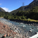
- Another classic NZ river.
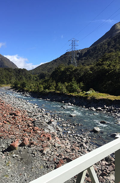
-
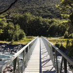
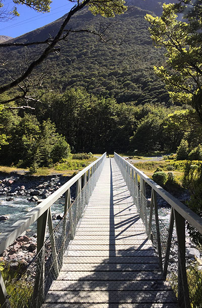
- The bridge leading over to Devil’s Puncbowl Falls.
To gather as much information as possible, we stopped off at the Arthur’s Pass Village Information Centre, where I asked the kind old lad behind the desk which walks are the best.
“Well, the weather outside is perfect to give Avalanche Peak a try. That trail is very difficult though, so the Scott’s Track might be more suited to you two.” Looking us up and down, he gave a kind smile, forcing me to believe we were more than capable to reach the top of a mountain.
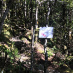
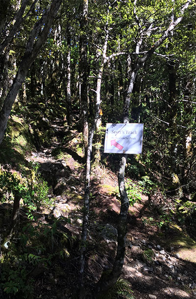
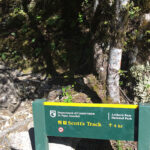
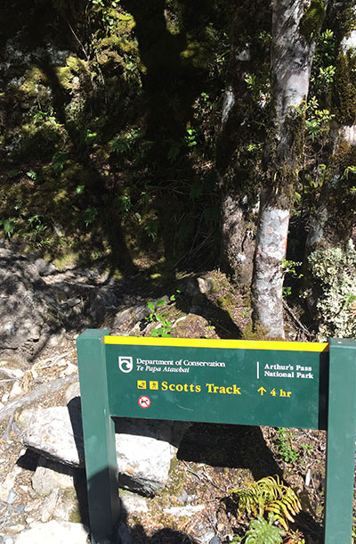
Scott’s Track
Level of difficulty: Bloody Hard – coming from a some-what fit (I love doughnuts), not-very-avid trekker. Don’t attempt if you’re scared of heights.
We decided to tackle Scotts Track – a trail that leads up the other side of the same mountain to meet with the Avalanche Peak track at the tip top, 1,883m closer to the moon than we’d ever been (by foot, that is).
-
- Yeah, sure. Let’s give this a try.
-
- If you’re having second thoughts, turn back now.
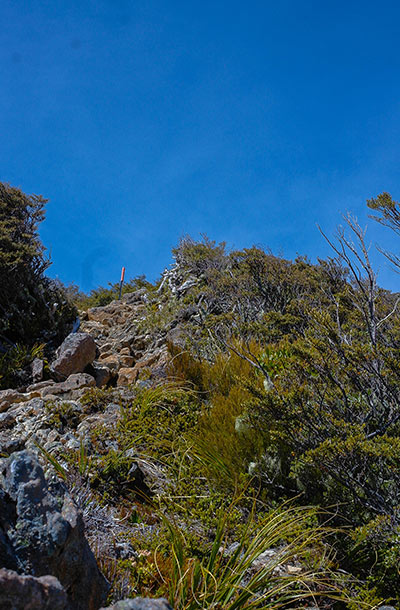
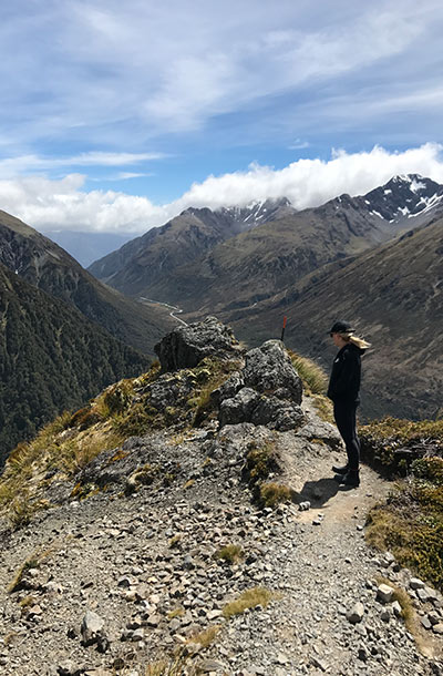
Avalanche Peak is a medium-high level track, and will require you to literally scramble and climb up vertical rocks, for around 500m after you exit the alpine line.
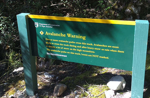
The Avalanche Peak track is significantly more difficult, and many have suggested that if you choose that route, you should descend the mountain via Scotts Track, far less steep, and I guess you’d have a nice change of scenery!
We’d read online not to attempt the either of these tracks if the weather is poor, and were told by the man at the visitor centre, “If you see any clouds roll over the peak after exiting the alpine line, you should retreat and try again another day.”
Luckily, for us, and plenty of other climbers that day, the weather forecast was looking fine, so we started the track in high spirits, soon to find out just how difficult summiting a medium-high peak really is.
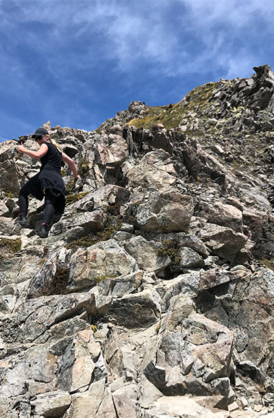
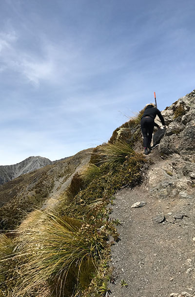
Despite the odds (our lack of sunscreen, and experience to be precise), we were really determined to make it to the top. I must admit, each time I looked behind as I scrambled up the first ridge line, I thought, “Ah shiiieett… That’s a long way down if I slip.”
-
- The first vertical climb.
-
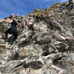
- The most terrifying vertical climb.
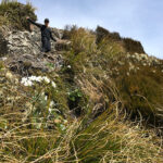
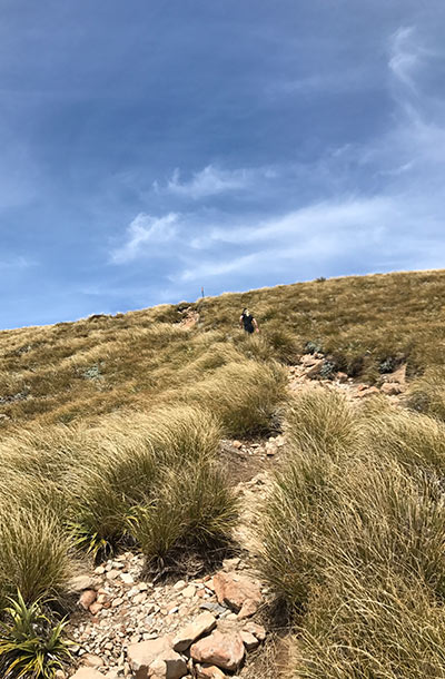
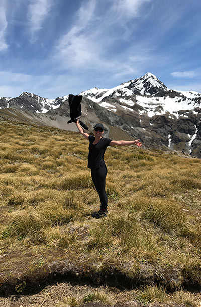
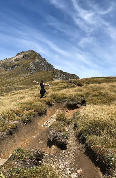
When you reach the flat tussock-covered ridge line you’ll see two lakes, perched un-naturally high in the clouds. I’m sure these little puddles freeze over in winter, but beside the point, when you look up (like I did here) you’ll likely assume that the peak is just above you.
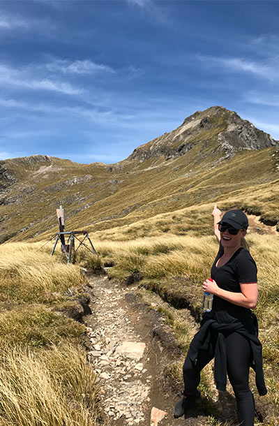
No, that’s not the peak. Not even close.
Rest assured, it is not.
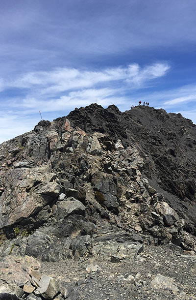
That is the peak.
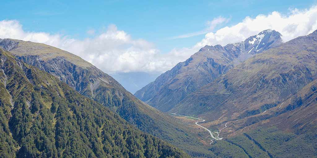
When you do make it to the top, be sure to look at the glacier hiding behind Mt. Rolleston, this can only be viewed from up there, so if you’re getting tired of all the other views, and struggling for a reason to reach the peak – keep this little gem in mind.
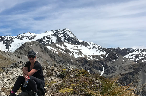
Sneak peak of the glacier hiding to the left.
What we packed
- 4 museli bars
- 2 apples
- 2 big bottles of water
- camera gear
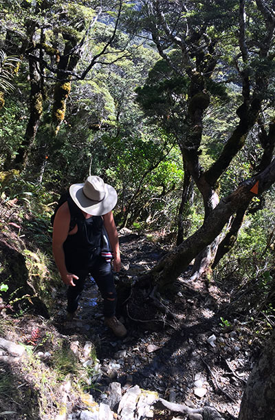
Mark severely underestimated the term “hiking gear” and decided to wear jeans. At the beginning of the hike we saw a family wearing shorts, and laughed at the thought of climbing a mountain without long pants in the extreme winds and freezing cold weather. But, it wasn’t long before I heard Mark mumble, “Yeah, now I get it.”
Wrong gear, and no idea.
It took us 6 hours all up. We stumbled past at-least 35 other people on our way to the top, who all seemed to be experienced mountain climbers, by the way.
Let me make myself clear – DO NOT attempt this track if you have a fear of heights. It is super windy at the top, so pack something to cover your face to stop windburn and a windbreaker or jacket.
Contemplating rolling down the hill.
Pack plenty of water. More than you think you need. Oh, and don’t forget suncream.
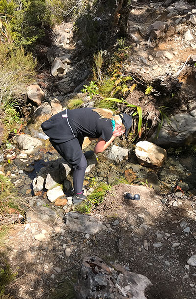
On the way back down, I stopped for a refreshing splash in a little waterfall.
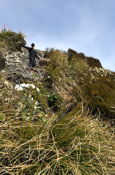
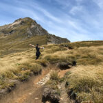
Here’s a tip: If you’ve never climbed a mountain before, you need to seriously consider the mental challenges that you’ll face. Each time we reached the top of a vertical ridge (where I’d wrongly assumed was the peak), we spotted at least another 4 long climbs ahead before reaching the final ridge where you could see the actual peak.
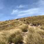
-
- Frolicking in the tussock.
-
- Send halp. Foot is slipping.
-
- Leaving poor Mark behind.
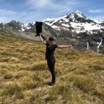
Channel your inner Dory, and just keep climbing.
-
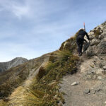
- Before I realised how much further we had to go.
-
- It gets worse.
Got any questions? Ask away!
January 31, 2017


Join the discussion!