Is Mount Solitary the toughest Grade 5 track in the Blue Mountains?
With so many hiking trails in the Blue Mountains, it’s not easy to find one that offers great views with limited hikers on the trail, and challenging terrain. But, I’m confident this track has got it all.
First, you’ll drive along the bumpy Glenraphael Drive to park your car at the Golden Stairs (get there early, there aren’t many spots). Next, you’ll descend 800m into the valley, down steps of varied heights. While this section is taxing on the knees, don’t fret, the majority of this trail is flat and easy.
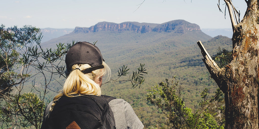
See that mountain over there? That’s where you’ll be hiking to.
Once you hit the bottom, you’ll see a sign that points to the right for Ruined Castle, or to the left for Katoomba. You’ve got approximately 6km of flat valley floor walking ahead, all beneath the shade of the gum trees.
On the way to Ruined Castle, there’s one drop toilet right before the turn off (3.5km from the bottom of the Golden Stairs). If you continue to Mount Solitary, you’ll reach a campsite where there are a number of shelters, and two rain tanks where you can boil water (for three minutes). There’s another drop toilet there, too.
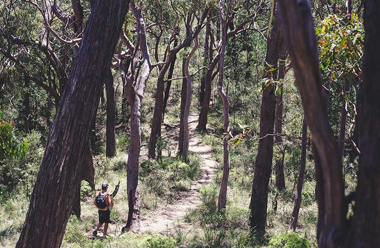
Flat valley floors make up the majority of this track.
Once you leave Mount Solitary campground, it’s not long before the terrain starts to increase in elevation (only slightly). Soon, you’ll be searching for some grip in the rock to place your foot, before grabbing hold of what you can between rock walls on your way to the summit. Some of these rock-climbs are pretty easy to spot, others might take a little more trial-and-error, but these boulders and rock steps aren’t strenuous – and that’s coming from someone who has short arms and legs.
Before we went, I’d heard navigation skills were a requirement for the track. Now, if I’m being totally honest, I know nothing about self-navigation in the bush. But, we made it to the summit just fine.
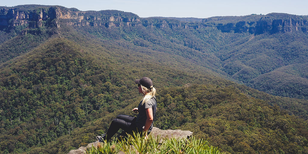
There are unreal views from various outcrops of rock on the way to the top, but don’t stop there. Continue all the way to the summit for a real sense of accomplishment.
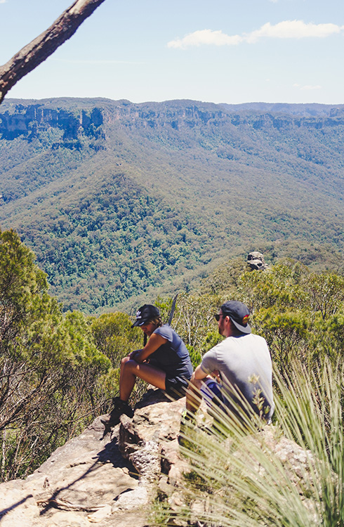
Enjoying the view from the summit of Mount Solitary.
We found out there are two ways down. On the way up we’d somehow managed to drift off the ridge, and worked our way up beside the rock to the summit – not before scrambling up a slippery, vertical slope (okay, so navigation skills might have come in handy). On the way down we chose to take the ridge route, which provided better views – and it wasn’t difficult at all.
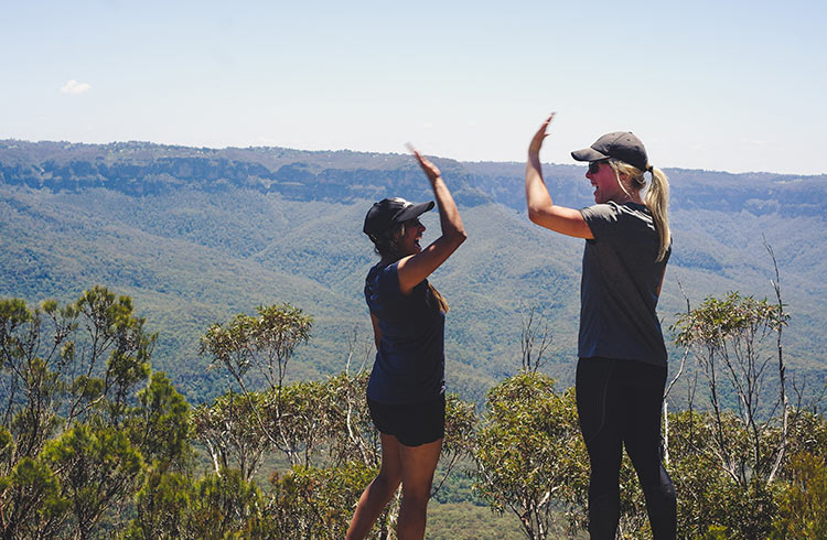
“Do people still high-five? Let’s high-five.”
There’s a sign that says “Experienced hikers only”, but we continued anyway. I’m by no means a self-confessed “experienced hiker”, and we made it to the top without any injuries. So long as you pack enough water, wear the right gear, slap on some sunscreen, and don a pair of sturdy hiking boots*, you’ll be fine.
*Plenty of trail-runners make it to the summit in an old pair of slippery Nikes.
Details:
- Park at the Golden Staircase. Navigate to Glenraphael Drive, Katoomba.
- Give yourself 7 hours. We did it in 6.5, that’s incuding a one hour stop at the top, a 50 minute break on the way back down to boil rain water at the Mount Solitary campsite, and many little stops to take photos along the way. Plus, I had a nasty cold on the day we did this hike – but I’d recommend doing it when you aren’t coughing your lungs up.
- The first 800m is a steep descent down the Golden Stairs. After that, you’ve got approximately 6km of flat, valley floor walking. Then you’ll start the ascent to the top of Mount Solitary.
- There are various ways to get to the top. One will take you along the rocky ridge (lots of fun scrambling between rocks). The other will take you along the side of the rocks, but will require a near-vertical climb up a slope that’s slippery thanks to many fallen leaves. Grab hold of the thin trees on the way up and you should be fine.
- Pack more water than you think. Pack snacks for the top.
- Ruined Castle is totally worth it too, I did that a few months prior to Mount Solitary. It can be done in under 4 hours.
[googlemaps https://www.google.com/maps/embed?pb=!1m18!1m12!1m3!1d212341.51594069356!2d150.22914574217765!3d-33.73905185536866!2m3!1f0!2f0!3f0!3m2!1i1024!2i768!4f13.1!3m3!1m2!1s0x6b126bf495ca197b%3A0xdfee2fbcead8ccbc!2sGolden+Stairs!5e0!3m2!1sen!2sau!4v1513143470639&w=600&h=450]
January 3, 2018
Join the discussion!