There’s more to Milford than the sounds: Short walks and Humboldt Falls
Unfortunately, the weather knew we were coming for Milford Sound, so it decided to rain persistently, with clouds covering the peaks and fog surrounding the van everywhere we went.
The 2hr journey from Te Anau to Milford Sound was undoubtedly the most enjoyable part of our adventure.
After following Milford road for what feels like forever, you’ll hit a wall of rock, where a 1,270m long tunnel will spit you out to the other side. Homer Tunnel dips down to a slope, and inside it’s almost pitch black, so keep that foot on the breaks.
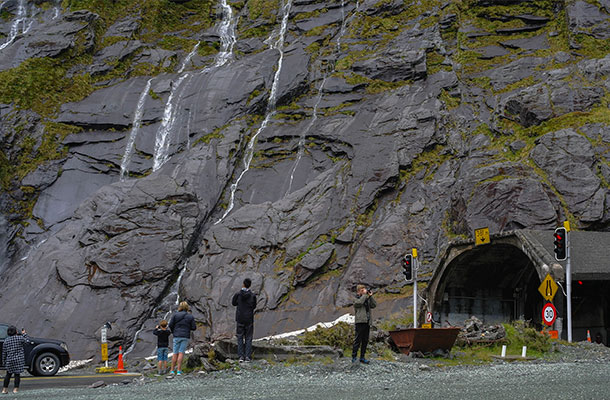
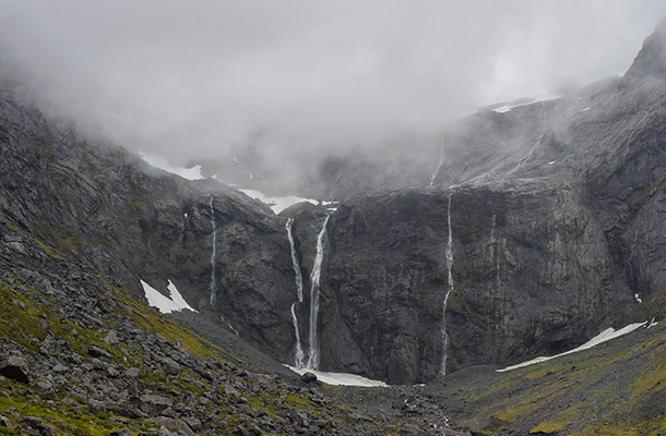
When you exit the tunnel, get ready for sharp hair-pin turns, and a really steep ascent. The idiot behind us was right on our tail, forcing my fingers and toes to cross in hope that he wouldn’t bump into our rear.
It was really foggy on the way down to the mouth of the Sounds, so we couldn’t see the scenery around us, but after a quick Google image search, safe to say we probably missed out on some of the best scenery in Milford.
We got there at around 9am and couldn’t find a parking spot – proving that even without good weather, this wonder of the world still attracts hundreds of people a day. Make sure you get there super early.
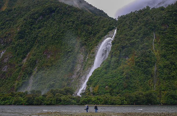
We parked the car, and walked about a kilometre up the road, to see the famous Milford Sound from the shore.
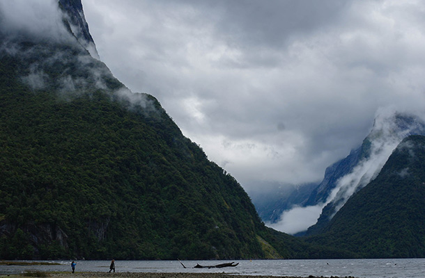
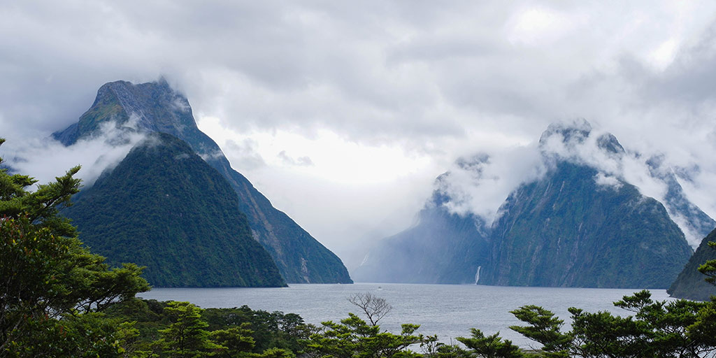
The clouds were covering the top of the fiords, and we found ourselves in a classic case of Expectation vs Reality. Though the views were somewhat dull and unimpressive, I’ve become used to weather destroying expectations when I travel – the same thing happened to me a few years back when I went to see Halong Bay.
You know what? Clouds, mist and rain give off a mystical vibe. Which isn’t so bad if you’re a Lord of the Rings fan.
If you also get bad weather, take it in your stride. Don’t be a whinger.
We went inside to grab a Chai late and a cinnamon scroll from the Milford cafe (which is hugely overpriced, by the way, but totally delicious).
When you leave the cafe, take a turn to the right to find the Milford Lookout, which is up a flight of wooden steps. This little walk should only take about 15min.
Afterwards, we headed back down to the boardwalk, a 20min round trip where you can walk along the foreshore (better at low-tide).
Our ever-so-exciting trip to Milford lasted about an hour, but that’s all we needed.
Luckily, we’d looked up other things to do near Milford, and decided to head back towards Humboldt Falls.
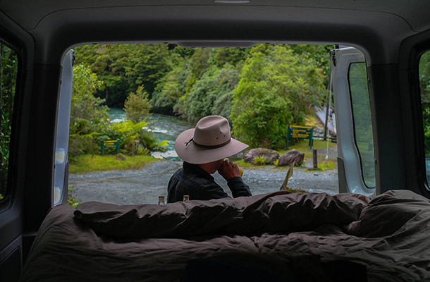
The perks of living out of a van. You can literally stop and make lunch anywhere.
Humboldt Falls
When you come to a fork in the road pointing to Hollyford walk, take the turn and drive 17km along a gravel road – with plenty of pot-holes – before you reach the end of the road where you’ll see a bridge that marks the beginning of the walking trail. Go back a little and look to your left where you’ll see a small sign pointing to Humboldt Falls.
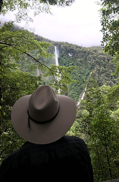
A steep, mossy track will lead you to a timber lookout where you’ll see the mighty waterfall from afar.
Lucky for us, there’d been plenty of rain falling over the past few days, so these falls were pumping out a heap of water.
Suspension Bridges: Lake Marian & Moraine Creek
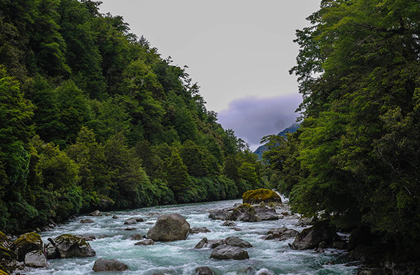
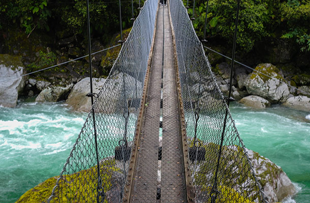
On the way back down the gravel road, we stopped off at Lake Marian, and took a walk across the suspension bridge to see the clear blue water below.
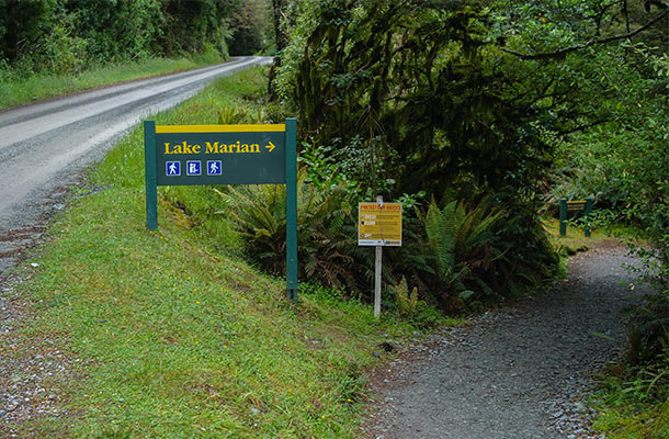
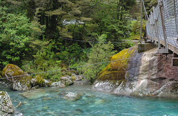
We didn’t do the whole track – mainly due to blisters on the back of my feet. But I’m sure the Marian Lake walk is also a great one.
[Actually, I recently found out that THIS is Lake Marian]
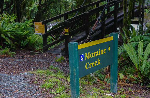
We also pulled up beside the road to bounce along the suspension bridge to Moraine Creek.
Mirror Lakes
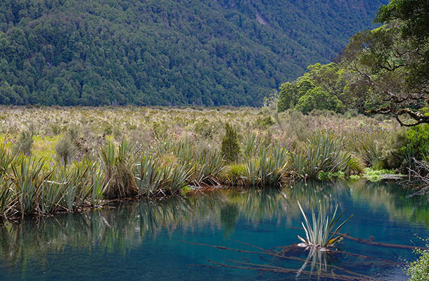
Winding our way back along Milford Road, we stopped at Mirror Lakes. With the wind blowing on the water, we couldn’t see the ‘mirror’ effect – but we did see a few baby ducks dipping in and out of the lake.
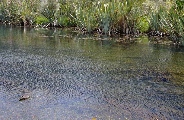
Quackers.
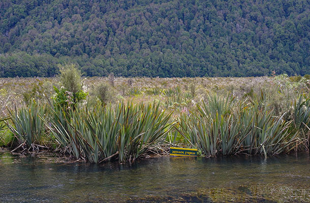
Damn ducks and wind caused a Mirror Lakes fail.
On our way back towards Te Anau, we kept our eyes peeled for campsites along Milford road, and after driving in to see them all, we doubled back to Deer Flat campsite.
Deer Flat Campsite
This campsite will also cost you $13, and with a few timber picnic tables, and one long drop toilet.
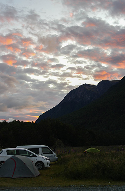
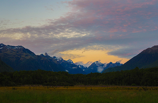
All campsites along Milford road will fill up quickly in the Summertime, so make sure you don’t leave finding a spot to stay the night until last minute.
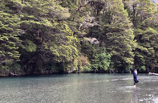
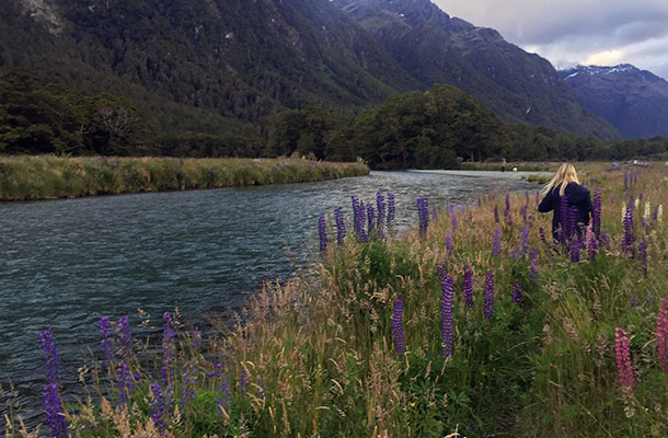
If you do stay at Deer Flat, make sure you take a stroll down past the sign that says “No camping beyond this point due to flooding”. Behind the sign, there’s a trail that will take you to clear blue water flowing gently down the stream.
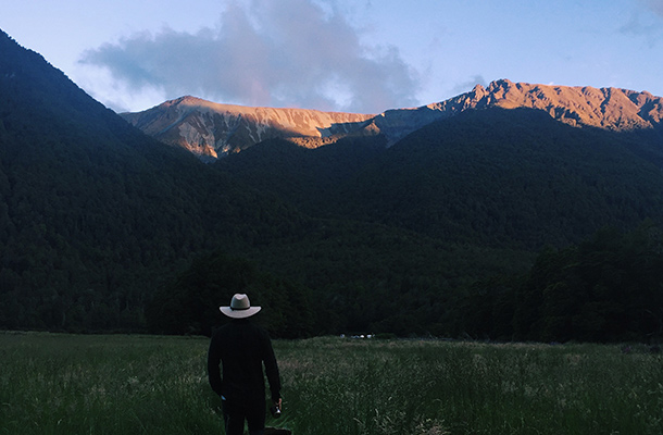
The clouds blew away in the evening, providing one of the most spectacular (and slowest) sunsets, I’ve ever seen. Literally nothing beats the memories of watching the last rays of sun slip off the tallest snowy peaks at 11pm.
Where we stayed:
- Deer Flat Campsite
- $13, put your payment in the honesty box near the entrance to the campsite.
- Plenty of space to park your van or set up a tent.
- 3 drop toilets. Smelly, but use-able.
- Sandflies weren’t too bad here. I give them a 3/10 – so don’t forget that bug spray.
- Incredible views of the mountains around, especially at sunset.
- Nice river flowing nearby.
[googlemaps https://www.google.com/maps/embed?pb=!1m18!1m12!1m3!1d72447.02706330712!2d167.93677017215882!3d-44.998747974589655!2m3!1f0!2f0!3f0!3m2!1i1024!2i768!4f13.1!3m3!1m2!1s0xa9d4350eff1e2055%3A0x4291597b83f20563!2sDeer+Flat+Campsite!5e0!3m2!1sen!2sau!4v1491963346227&w=600&h=450]
April 15, 2017
Join the discussion!